We have been on the road quite a bit lately. We have had tragedies in California that necessitated travel to there, but we managed to mix a little vacationing road trip in as well.
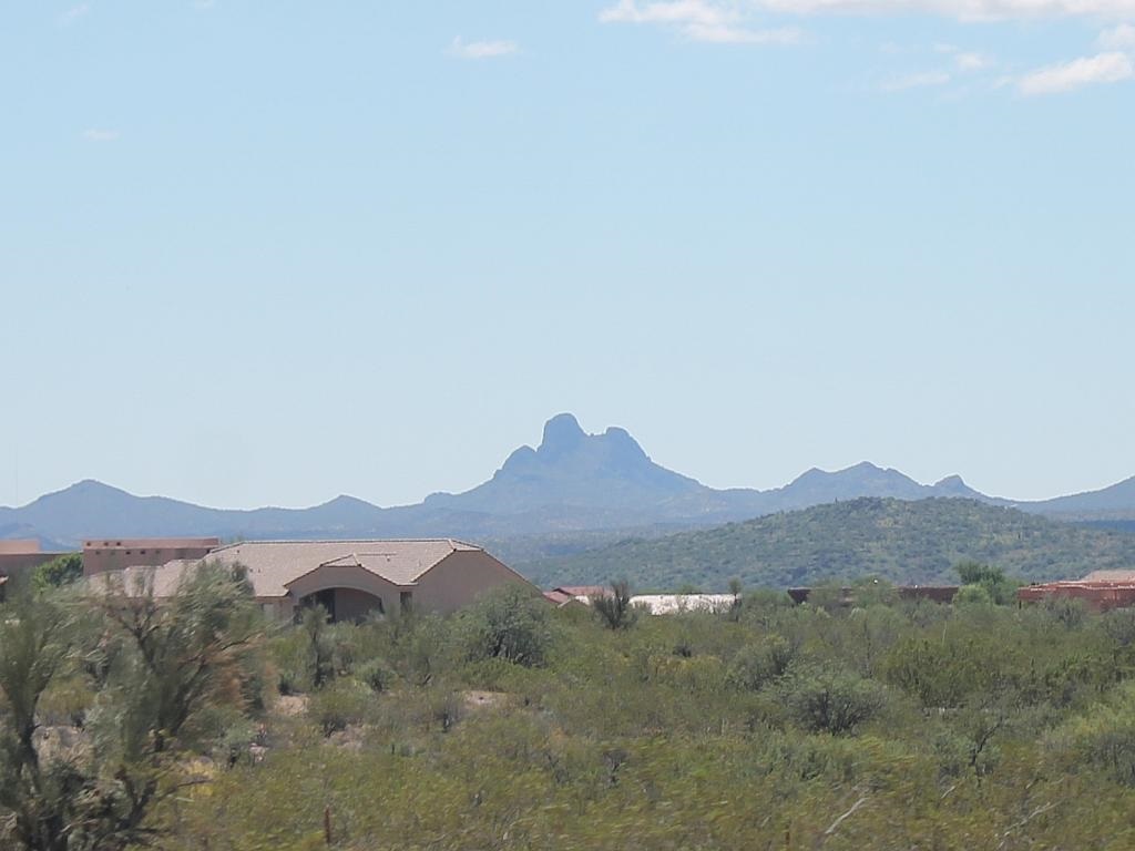
After each foray away from our beloved Arizona home, we are greeted by this prominent geological feature as we approach Wickenburg: Vulture Peak. The peak can be seen from US 60 either coming from the southeast or from the west as we approach town. It can also be seen from State Route 89 coming from the north and from US 93 coming from the northwest.
From Wikipedia:
The Vulture Mountains are about 29-mi long, and east of center, about 13 mi wide; the range is somewhat crescent shaped, mainly trending east-west, and narrowing westwards. The northeast is followed by the course of a southeast stretch of the Hassayampa River; the river turns due-south west of Morristown, on US 60, making the east terminus of the range about 7 mi wide, at the rivers floodplain. The Hassayampa enters the north of the Hassayampa Plain, so a small river canyon region lies at the Vulture Mountain’s northeast, with the Wickenburg Mountains northeast, and the Hieroglyphic Mountains east.
The highpoint of the range is Vulture Peak, 3,658 feet, at the center east of the range. Another major peak anchors the west region of the range, Black Butte, at 3,612 feet.


