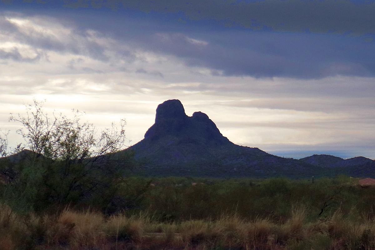
On our way out of the Fly-in and Classic Car Show today, I took this photo of Vulture Peak. There were rain showers all around and would soon begin raining here in Town. This photo shows the peak in an uncharacteristic backlit condition with dark clouds overhead and lighter ones to the south, behind the mountain range.
Vulture Peak is the highest point in the Vulture Mountain Range.
The Vulture Mountains are about 29 miles (47 km) long, and east of center, about 13 miles (21 km) wide; the range is somewhat crescent shaped, mainly trending east–west, and narrowing westwards. The northeast is followed by the course of a southeast stretch of the Hassayampa River; the river turns due-south west of Morristown, on US 60, making the east terminus of the range about 7 mi wide, at the rivers floodplain. The Hassayampa enters the north of the Hassayampa Plain, so a small river canyon region lies at the Vulture Mountain’s northeast, with the Wickenburg Mountains northeast, and the Hieroglyphic Mountains east.
The high point of the range is Vulture Peak, (3,658 feet (1,115 m)),[2] at the center east of the range. Another major peak anchors the west region of the range, Black Butte, at 3,612 feet (1,101 m)).


