15 Search results

For the term "+Vulture+Peak".

Vulture Peak

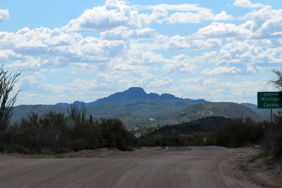
We took the dogs to the groomer today and while we were waiting for them to be finished, we took a little drive up through Constellation Park to the county line between Maricopa and Yavapai Counties. The weather was scattered clouds and a couple of rain showers although we stayed dry.

Verna took this photo of Vulture Peak off in the distance from the county line looking west-south-west toward the vulture mountains. This mountain is an icon when visiting Wickenburg and is very prominently seen from all over town and when approaching the Hassayampa Valley.

Click on the image to enlarge.

Vulture Peak

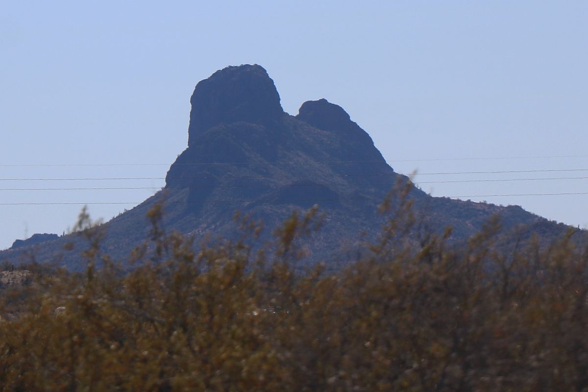
12/15/2022 — Verna and I took a drive out to the Humane Society yesterday to drop off a few pet supplies that we no longer needed. On the way back, Verna took this photo of Vulture Peak on the drive back to town for the rest of our errands. The unique profile of this particular ridge is a symbol of our town and a reminder of the adjacent Vulture Mine discovered by Town Founder Henry Wickenburg.

Prior to dropping off the pet stuff, we stopped at the barber shop to drop off some Lemons and a quart of homemade Limoncello. We also did our grocery shopping a day early since we have a doctor appointment at our usual shopping time.

It was a good day of retirement and we got a lot of stuff done.

Vulture Peak on a Rainy Day

Vulture Peak on a Rainy Day

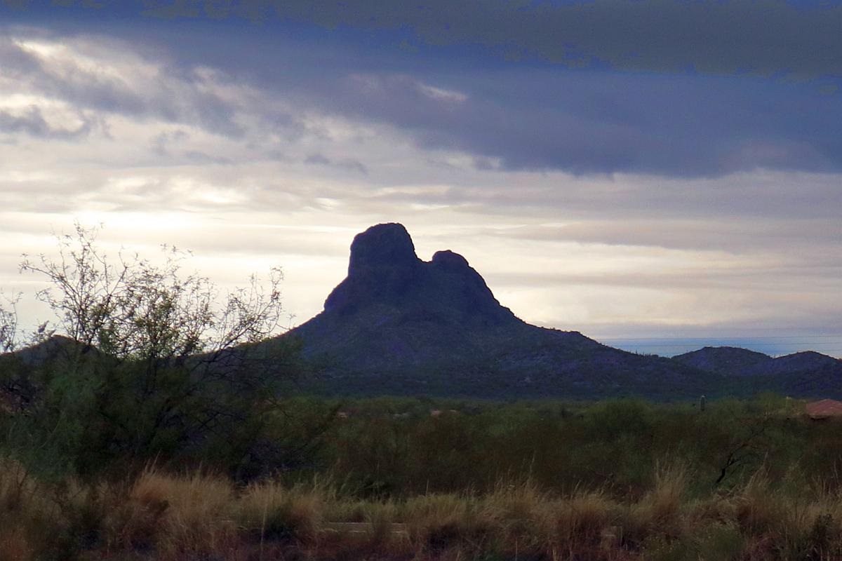
On our way out of the Fly-in and Classic Car Show today, I took this photo of Vulture Peak. There were rain showers all around and would soon begin raining here in Town. This photo shows the peak in an uncharacteristic backlit condition with dark clouds overhead and lighter ones to the south, behind the mountain range.

Vulture Peak is the highest point in the Vulture Mountain Range.

The Vulture Mountains are about 29 miles (47 km) long, and east of center, about 13 miles (21 km) wide; the range is somewhat crescent shaped, mainly trending east–west, and narrowing westwards. The northeast is followed by the course of a southeast stretch of the Hassayampa River; the river turns due-south west of Morristown, on US 60, making the east terminus of the range about 7 mi wide, at the rivers floodplain. The Hassayampa enters the north of the Hassayampa Plain, so a small river canyon region lies at the Vulture Mountain’s northeast, with the Wickenburg Mountains northeast, and the Hieroglyphic Mountains east.

The high point of the range is Vulture Peak, (3,658 feet (1,115 m)),[2] at the center east of the range. Another major peak anchors the west region of the range, Black Butte, at 3,612 feet (1,101 m)).

Vulture Peak

Vulture Peak

We have been on the road quite a bit lately. We have had tragedies in California that necessitated travel to there, but we managed to mix a little vacationing road trip in as well.

After each foray away from our beloved Arizona home, we are greeted by this prominent geological feature as we approach Wickenburg: Vulture Peak. The peak can be seen from US 60 either coming from the southeast or from the west as we approach town. It can also be seen from State Route 89 coming from the north and from US 93 coming from the northwest.

From Wikipedia:

The Vulture Mountains are about 29-mi long, and east of center, about 13 mi wide; the range is somewhat crescent shaped, mainly trending east-west, and narrowing westwards. The northeast is followed by the course of a southeast stretch of the Hassayampa River; the river turns due-south west of Morristown, on US 60, making the east terminus of the range about 7 mi wide, at the rivers floodplain. The Hassayampa enters the north of the Hassayampa Plain, so a small river canyon region lies at the Vulture Mountain’s northeast, with the Wickenburg Mountains northeast, and the Hieroglyphic Mountains east.

The highpoint of the range is Vulture Peak, 3,658 feet, at the center east of the range. Another major peak anchors the west region of the range, Black Butte, at 3,612 feet.

Vulture Peak Panorama

Vulture Peak Panorama

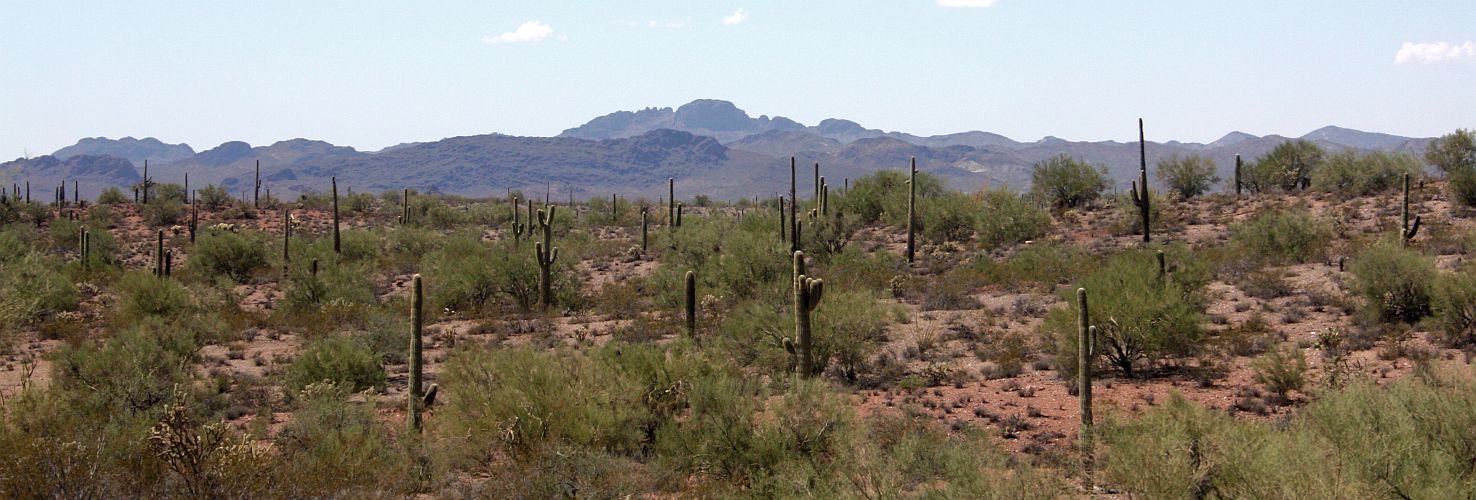
Verna took an image looking west from Castle Hot Springs Road yesterday. I cut her image down to make this nice panoramic image of the Sonoran Desert with Vulture Peak in the distance. Very pretty scenery. Click on the image to view the full-sized panorama.

Prominent Vulture Peak

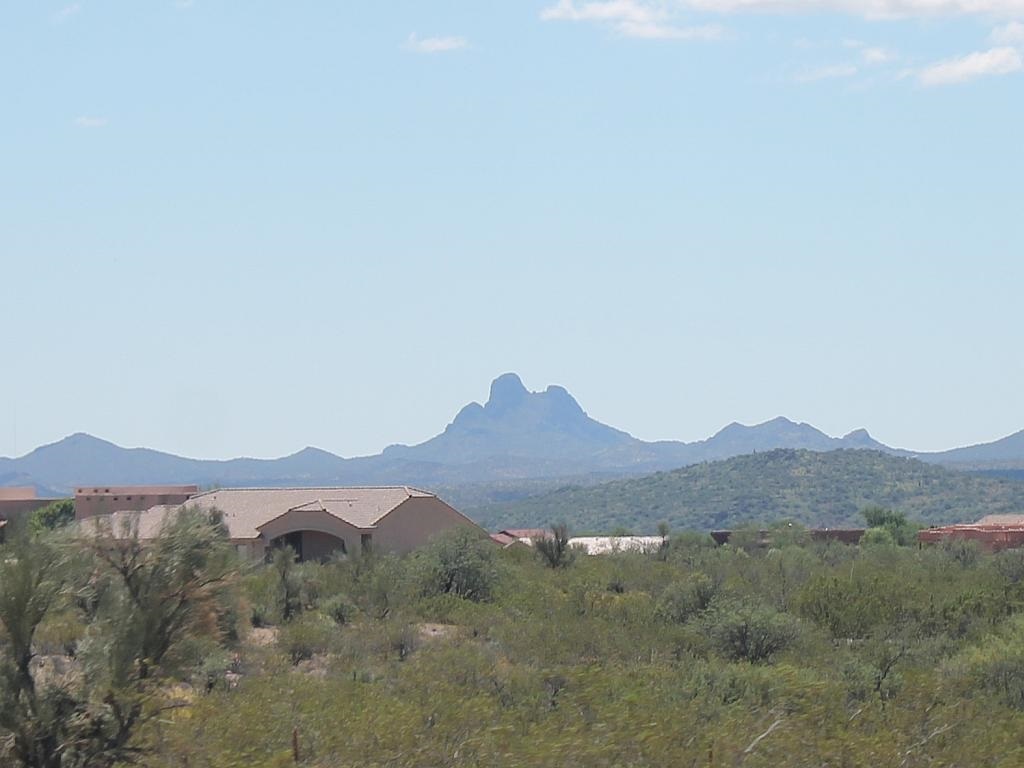
After several days on the road, it is always a welcome sight to see Vulture Peak on the horizon since it means that we’re close to home and our journey is nearly done. I took this shot when we were about five minutes from our home. It was a good eclipse trip and it’s good to be home. Click on the image to enlarge.

vulture-peak.jpg